


| 차량 계측 센서/시스템 | 자율주행/ADAS 개발 솔루션 | 차량 시험 컨설팅 및 리웍 |

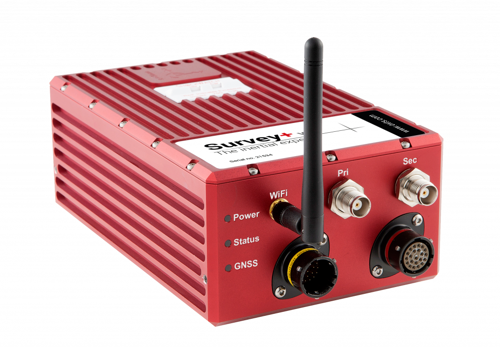
| Model | Survey+ |
|---|---|
| Positioning | · GPS L1, L2 · GLONASS L1, L2 · BeiDou L1, L2 (Option) · PPP · SBAS |
| Position accuracy | 1.5m SPS / 0.6m SBAS / 0.4m DGPS / 0.1m PPP / 0.01m RTK |
| Velocity accuracy | 0.05km/h |
| Roll and pitch accuracy | 0.03˚ |
| Heading accuracy | 0.05˚(Dual antenna) |
| Operating temperature | -10˚ to 50˚C |
| Vibration | 0.1g2 /Hz, 5 - 500Hz |

 TOP
TOP