


| 차량 계측 센서/시스템 | 자율주행/ADAS 개발 솔루션 | 차량 시험 컨설팅 및 리웍 |

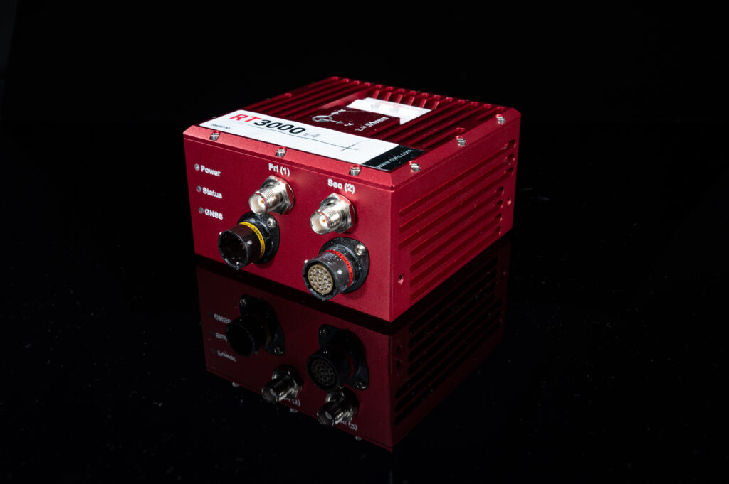
| Model | RT3000 v4 | RT3000 v4 DO160 |
|---|---|---|
| Positioning | GPS L1, L2C (QZSS) GLONASS L1, L2 BeiDou B1, B2 Galileo E1, E5 |
GPS L1, L2C (QZSS) GLONASS L1, L2 BeiDou B1, B2 Galileo E1, E5 |
| Single/Dual Antenna | Both | Both |
| X, Y Position | RTK - 0.01 m PPK - 0.01 m˚ |
RTK - 0.01 m PPK - 0.01 m˚ |
| Altitude | 0.012 m | 0.012 m |
| Velocity | 0.025 km/h | 0.025 km/h |
| Roll & Pitch | 0.010° | 0.010° |
| True Heading | 0.040° | 0.040° |
| Slip Angle | 0.050° | 0.050° |
| Dimensions | 120 x 120 x 71 mm | 120 x 120 x 71 mm |
| Weight | 690 g | 690 g |
| Input Voltage | 10 - 48 V dc | 10 - 48 V dc |
| Power Consumption | 6 W | 6 W |
| Internal Storage | 32 GB | 32 GB |
| Onboard Data Logging Rate | 3 MB/s | 3 MB/s |
| Environmental Protection | IP65 | IP67 |

 TOP
TOP