


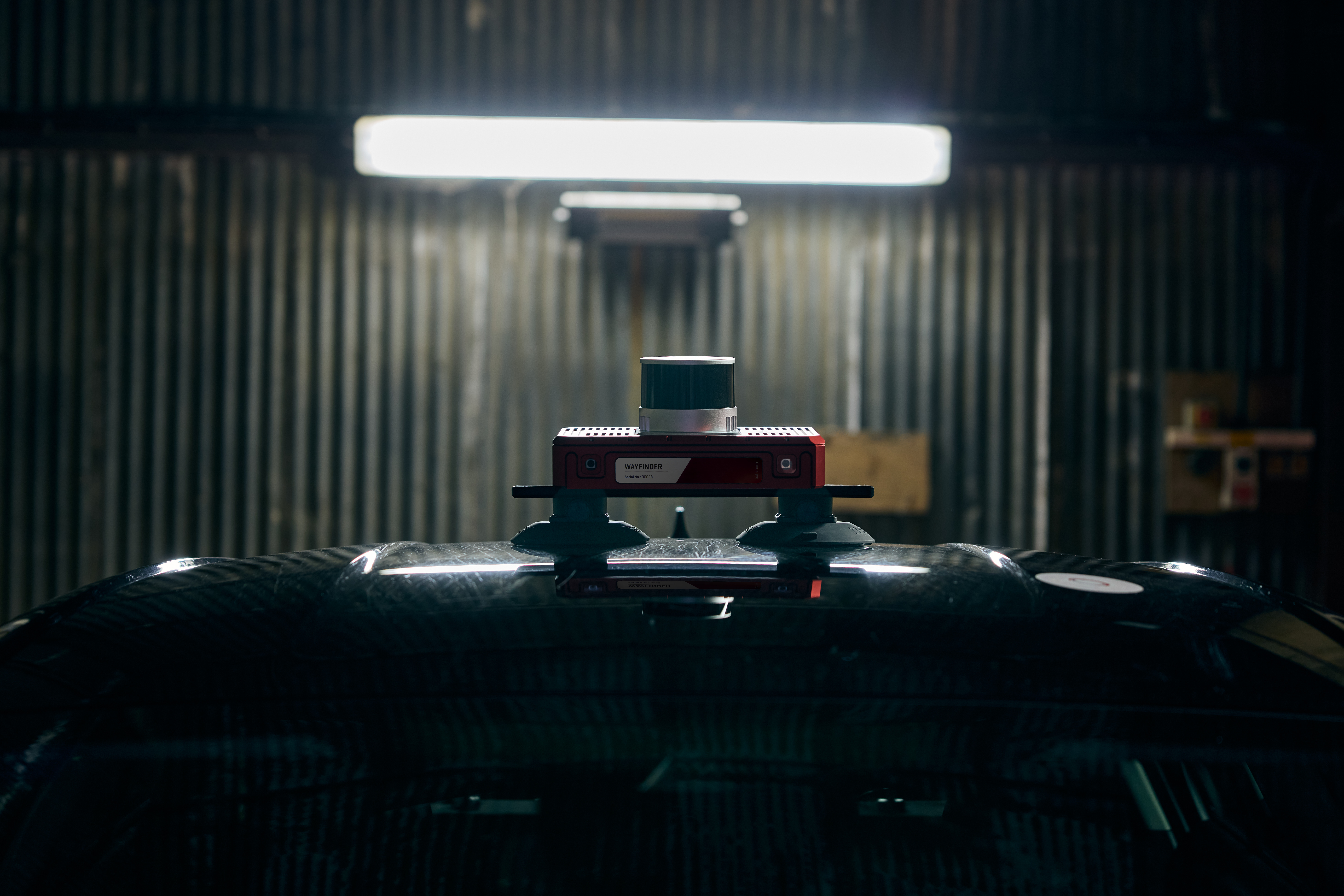
| Track Testing | ADAS Test Targets | Driverless Testing Solution | INS (Inertial Navigation System) |
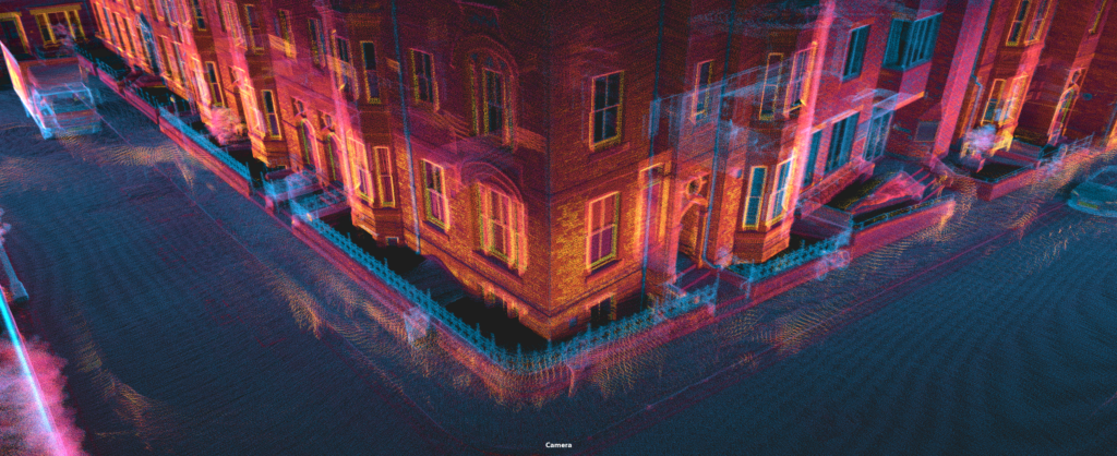
LiDAR | Video Grabber & Playback Systems | Laboratory Testing | Driving Simulators | Sensor & Transducers | Consultancy Work |


| Specification | |
|---|---|
| Positioning | GPS L1, L2 GLONASS L1, L2 (option) BeiDou B1, B2 Galileo E1, E5b |
| Antenna configuration | Single/Dual |
| Performance [1] [3] (RMS) | Real-time (Without GNSS) | Post-process (Without GNSS) | LiDAR map aided (Without GNSS) | Real-time (With GNSS) |
|---|---|---|---|---|
| X,Y Position (RMS) | 0.42m | 0.22m | 0.03m | 0.01m |
| Position error as % of distance travelled | 0.14% | 0.07% | 0.01% | N/A |
| Altitude (RMS) | 0.30m | 0.13m | 0.03m | 0.01m |
| Velocity (RMS) | 0.13km/h | 0.06km/h | 0.05km/h | 0.05km/h |
| Roll & Pitch (1σ) | 0.03° | 0.02° | 0.02° | 0.02° |
| True Heading (1σ) [2]) | 0.08° | 0.02° | 0.05° | 0.05° |
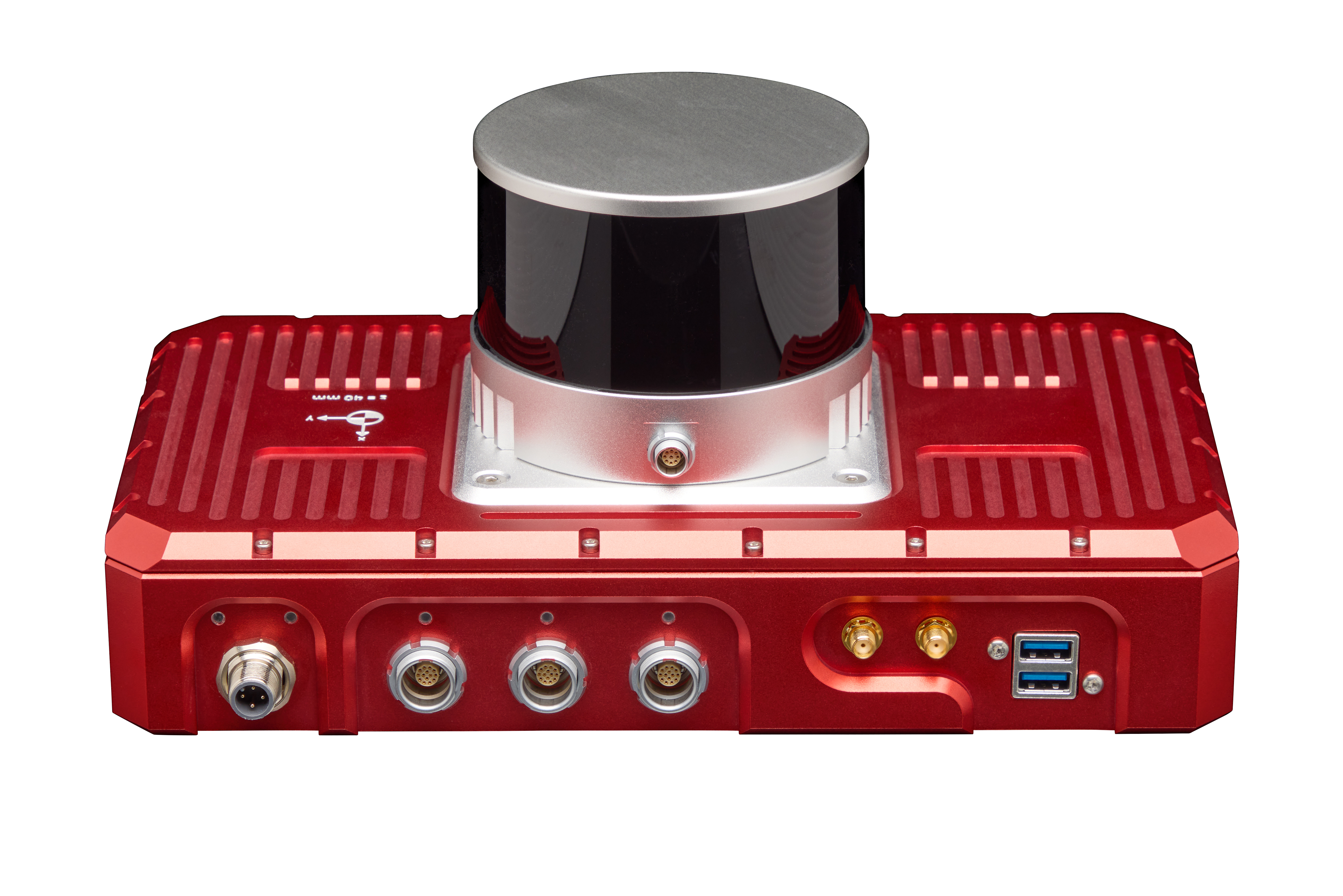
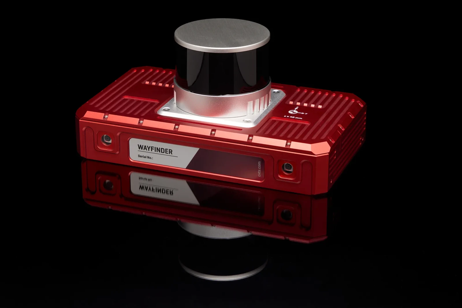
| Physical characteristics | |
|---|---|
| Input voltage | 10-28Vdc |
| Power consumption | 28W |
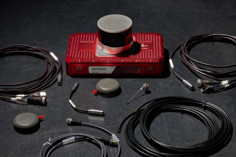
| Dimensions | 280 x 160 x 130mm |
| Mass | 3.25kg |
| Internal storage | 32GB (INS) + 250GB |
| Interfaces | |
|---|---|
| Ethernet | 3 x 10/100Base-T |
| Serial | 1 x RS232 |
| Digital I/O | Quadrature wheelspeed input PPS/PTP output 2 x Trigger input/output |

 TOP
TOP